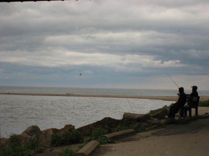
The Beach and Cabbagetown are two favourite destinations of Torontonians and visitors. Follow the Toronto Bike Map – from the TTC Main Street subway or GO Danforth train stations – for the wonderful ride down to The Beaches, west along the Waterfront Trail, past The Leslie Street Spit, and then up the Don Valley to the TTC subway at Castle Frank.
RIDE 18.0: The Beach from MAIN STREET TTC subway (+ Danforth GO train) to CASTLE FRANK subway – 20 kms
Route Notes
- Exit at the west end of either Main Street TTC subway or Danforth GO train station. Ride south on Bike Route 59 down Main St., or take the sidewalk (Caution: there is an incredible blind spot at the top of the overpass over the train tracks!)
- Follow the blue bike route signs to the Lake closely: the right turn at Glen Ames is often hidden by leaves.
- Join the Waterfront Trail west at Kew Gardens. The Toronto Bike Map and Waterfront Trail signage will take you where you want to go.
- After the Spit, take Unwin Ave. west to visit Cherry Beach, then up through The Portlands via Cherry Street. Under the Gardiner Expressway, look for the trail east to The Don.
- Use the bike stairs at the bridge to get through Riverdale Park West. Exit the park to the west to explore Cabbagetown. Take Parliament St. north to get to Castle Frank subway.
- Or continue east across the Prince Edward Viaduct to Broadview subway station. It has an elevator.
Ride Maps
- Follow the Toronto Cycling Map
- Print and bring Waterfront Trail Maps – Toronto (Orange Trail #2)

Donald Wiedman © 2018
